If the main road is closed, who is affected, and what to do?
Accident, roadworks, landslide or flood: Territoire calculates, road by road, longer or impossible journeys, isolated municipalities and roads taking the extra traffic, and drafts a contingency plan with the people responsible.
Impact
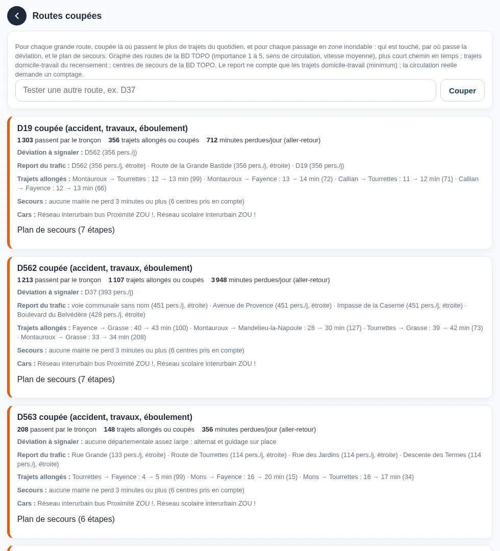
What happens if the main road is closed?
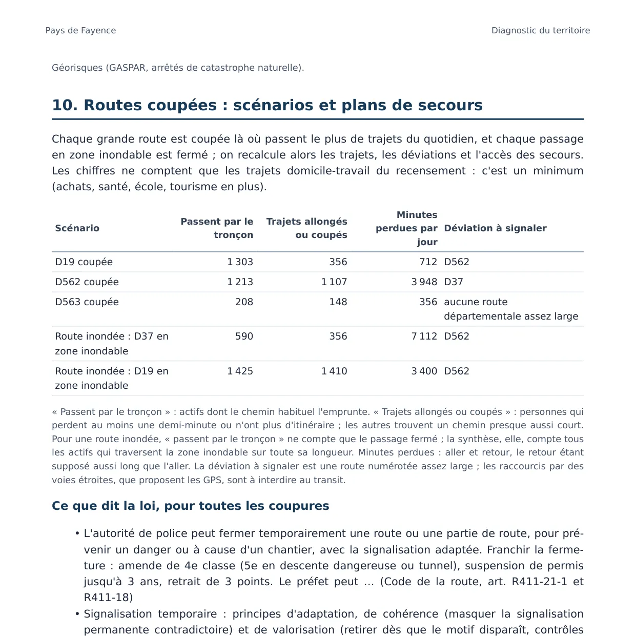
Territoire builds its own road network from IGN BD TOPO road sections, small roads included, since they are the ones used as diversions. It compares before and after the closure: commuting trips made longer or impossible, minutes lost each day, isolated municipalities, emergency access times, bus lines affected.
Scenarios are prepared automatically for the main roads carrying the most everyday trips, and for every road crossing a flood zone.
Diversion
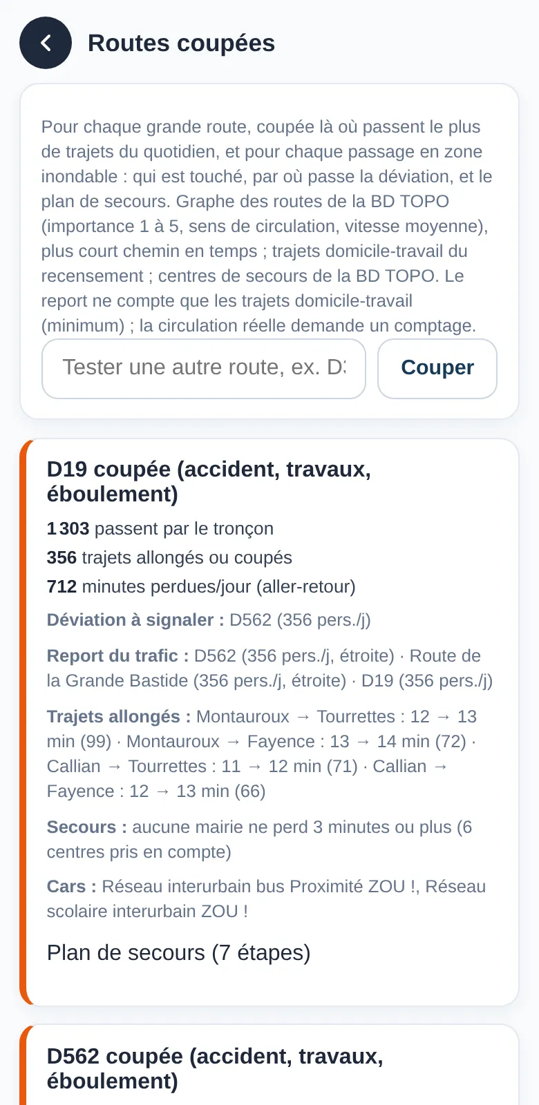
Where does the diversion go, and will it cope?
For each scenario, the tool shows the roads taking the diverted traffic, with people per day, and flags narrow ones. You can also test closing any road by typing its number, for example “D37”.
The plan
Which contingency plan, and who leads it?
Each scenario comes with a step-by-step plan: closure at both ends, signed diversion, alert, emergency services, buses, schools, informing residents, with who is responsible for each step (road authority, municipalities, gendarmerie, prefecture…). The report adds a cost range and possible funding.
Municipal emergency plan
How does it fit with the municipal emergency plan?
Scenarios and contingency plans are a working basis for updating the municipal emergency plan (plan communal de sauvegarde): alternative routes, narrow roads to watch, emergency access times. They do not replace the plan, nor the advice of the road authority and emergency services.
Limit: only census commuting trips are counted, so the numbers of people affected are a minimum; a traffic count would measure actual traffic.
Frequently asked questions