
A mobility assessment for your municipality
How residents get to work and school, where accidents happen, who has neither a car nor a bus, where traffic builds up: a figures-based overview from public data, for a French municipality or inter-municipal area.
Travel
How do residents get around?
Territoire starts from the INSEE census: share of workers who drive, take public transport, cycle or walk to work, households without a car, people working outside the area, and home-to-work and home-to-school flows municipality by municipality. These trips are placed on IGN routes to estimate the load on each road at peak times.
Public transport
Does the bus come, and when?
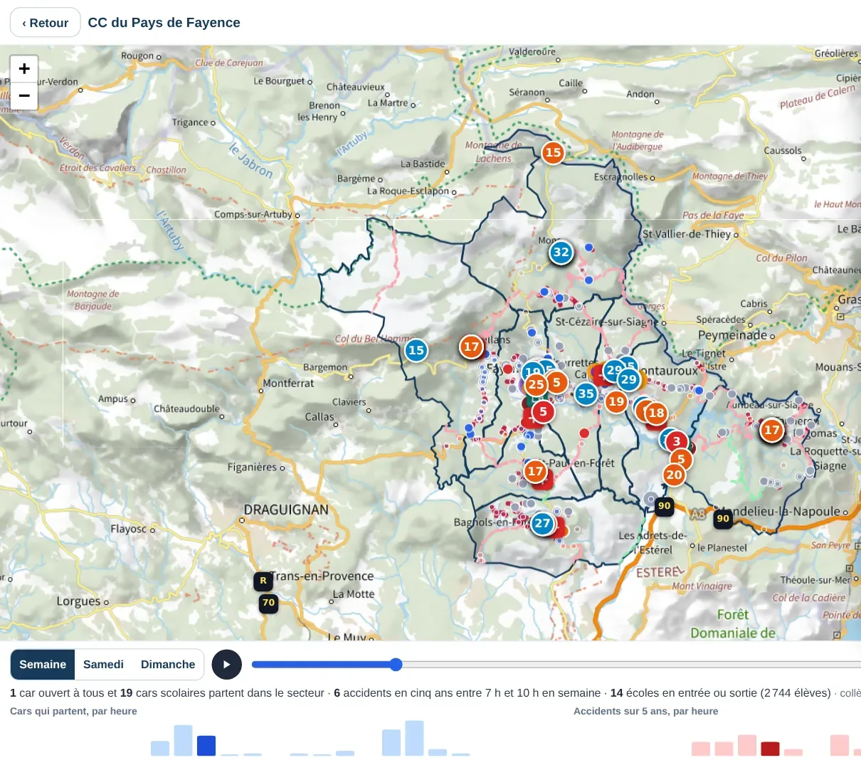
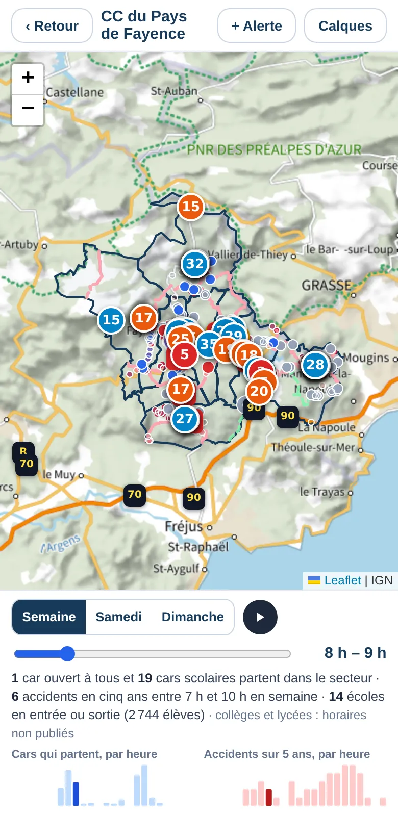
Published coach, bus and train timetables are read for a typical weekday, separating services open to all from school buses. Territoire counts distinct journeys (a bus crossing three municipalities counts once) and finds municipalities with no public service at all.
Road safety
Where are road accidents concentrated?
The national file of injury accidents covers five years. Territoire places each accident by its position, groups areas where they recur, links those at junctions to the nearest junction, and cross-checks them with time of day, school surroundings and fixed speed cameras. As with every issue, a conclusion is only called “cross-checked” when it rests on at least two sources.
Access to services
Which residents have no car, no bus and no services?
Age, income, local facilities (shops, doctors), access to GPs and bus service are cross-checked to find municipalities where shopping or seeing a doctor requires a car. Suggested solutions depend on the type of area: organised hitchhiking is not suggested in a city.
Next steps
A starting point for a simplified mobility plan?
The report follows the standard outline of a mobility assessment (residents, travel, transport, safety, roads, services, hazards, action plan). It is a preliminary assessment: it replaces neither fieldwork, nor public consultation, nor the formal mobility plan procedure, and it says so on its first pages. It saves you the baseline work and tells you what still needs checking on the ground.
To go all the way to the plan, Territoire adds a residents' survey, car-pooling actually done, evaluation of your trials and a draft document.
The simplified mobility plan · Sources used · A real example
Frequently asked questions